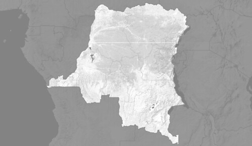
Available Map Layers
- UMD Forest Cover (2000)
- UMD Forest Loss (2000 - 2014)
- REDD+ Projects
- Protected Forest Areas
- Indigenous Lands
- Hydroelectric Power
- Electricity Transmission Lines
- Logging Concessions
- Logging Roads
- Artisanal Logging Concessions
- Mining Concessions
- Oil Concessions
- Agriculture Concessions
- Working Map of Feronia Agriculture Concessions
- Palm Oil Suitability
- Road Rehabilitation Projects
- Intact Forest Landscapes
- Independent Observers
- ERA Forest Stratification
- ERA Agriculture Projects
- ERA Education Projects
- ERA Community Projects
- ERA Clan Boundaries
- ERA Project Zones
- ERA Deforestation Drivers
- OGF FLEG Monitoring Locations
- Mai Ndombe ER Program
- Terroirs Boundaries (WWF mai ndombe RPAN)
- Land Use Terroirs (WWF Mai Ndombe RPAN)
- Plantation Boundaries (WWF ecomakala)
- CARPE Landscapes (REDD Priority Zones)
- FIP Intervention Zones
Displayed Map Layers
Basemap © OpenStreetMap contributors
