Announcing the First Moabi Mapping Competition
If you are Congolese with a passion for cartography, GIS, or remote sensing, then this competition is for you !
Moabi DRC is launching a competition to find the best map makers in the Democratic Republic of Congo.
We are looking for maps that tell a story about the environment in DRC. Your map or maps can be about wildlife, communities, carbon, conservation or a combination of all of the above.
Maps will be judged on technical merit, and creativity. But above all, we are looking for maps that explain environmental issues in DRC in new, exciting and compelling ways.
We hope this competition will raise awareness about some of the pressing environmental issues facing the people and wildlife of DRC. We also hope it give local map makers an opportunity to show off their cartographic skills !
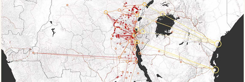
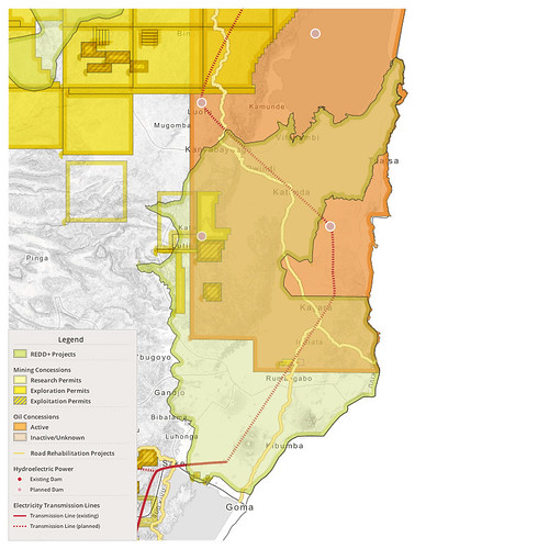
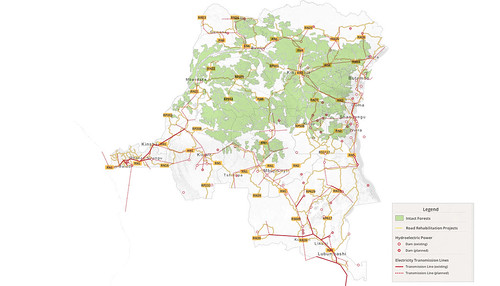
example maps
Depending on your skills, we have two competitions:
- Hand drawn maps
- GIS/Remote sensing maps
What are the Prizes?
Both competitions have the following prizes :
- 1st Prize : $250
- 2nd Prize: $150
- 3rd Prize: $100
We will also feature the winning entries on the homepage of the Moabi website.
The Rules
- You must be a Congolese National to enter the competition
- The map must be your original work
- You must have permission to use all of the data used in your map
- You can submit more than one entry but you may only win one prize
- You may submit a map sequence featuring no more than six maps
- The map must be focused on DRC
- Write a note describing in less than one page:
- the context in which the map was made
- its purpose
- its interest
- All submissions must be received by December 12th, 2014
How To Enter
- The name of the participant and any professional affiliation (NGO, university, etc). If more than one, please enter all names of participants
- The map and any location-based data
- A short summary (maximum 1 page), explaining:
- the context in which the map was made
- its purpose
- its intent
Please send map files (jpg, PDF, PNG formats) can be sent to Herve Kashongwe: hkashongwe@gmail.com.
Records including maps produced manually to be filed in OSFAC at the following address:OSFAC, 14 Avenue du Sergent Moke, Concession Safricas, District Socimat, Common Ngaliema, Kinshasa.
For questions, please email hkashongwe@gmail.com.
To keep updated on the competition and learn who wins by liking us on facebook at Moabi Mapping and following us on Twitter @moabimaps.
Members of the Moabi selection committee:
- Guy Kajemba, Spokesman of GTCR.
- Nicky Kingunya, Deputy Director of the Sustainable Development Department at MECNT.
- Eric Lutete, National expert in GIS and trainer at the University of Kinshasa
- Maurice Mbunga, Geographer at the IGC
- Pascal Douard, International Expert in GIS at WRI
- Claire Halleux, International Expert in GIS as well as environmental science at RGC
- Elvis Tshibasu, International Expert in GIS at WWF
- Hervé Kashongwe: National Expert in GIS at OSFAC and Secretary of the Moabi Selection Committee
- Benoit Thuaire, Consultant at IIASA, Coordinator of the Moabi selection committee