2015 Map Competition Winners!
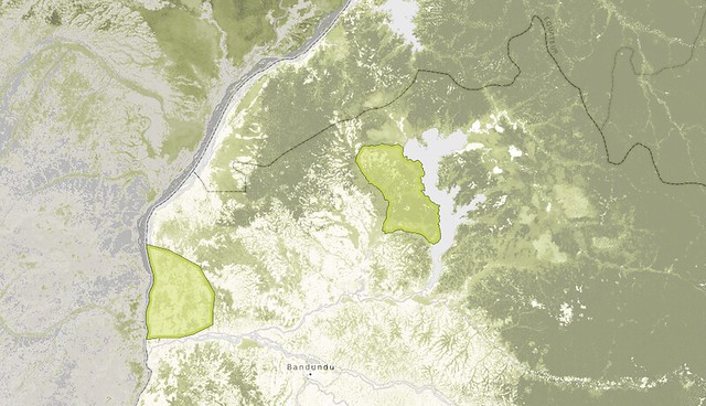
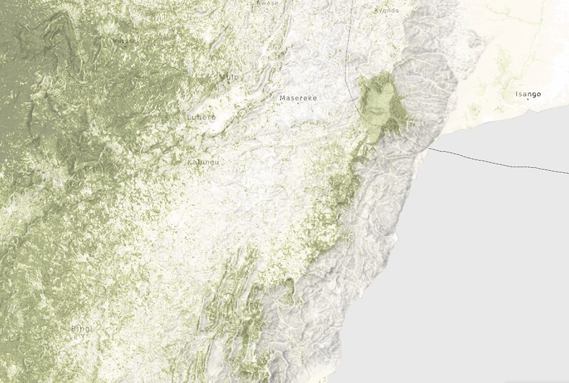
Our 2015 mapping competition has three very worthy winners. All three maps illustrate the conflicts between different land uses in the eastern Congo. .From protect areas and rebel groups to community lands and logging interests, the maps starkly illustrate the contested landscapes, which continue to define resource conflicts in DRC
4th Moabi Newsletter

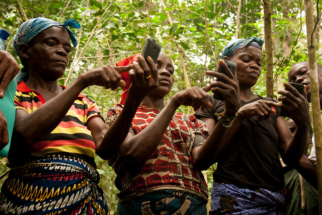
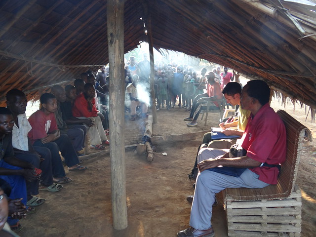
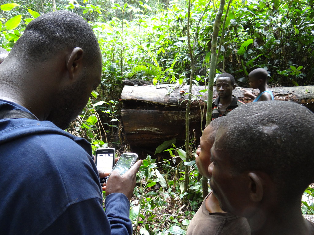
EVENT: Stories from the Field - Forest Monitoring in the Congo Basin
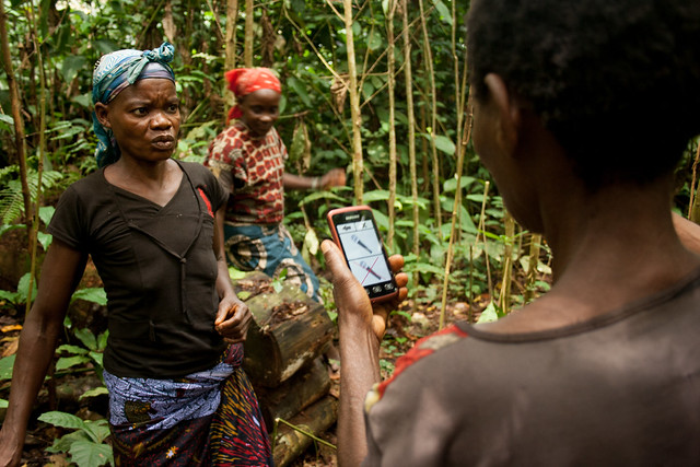
For several years, ExCiteS and Moabi have developed new tools and approaches to forest monitoring in the Congo Basin rainforests. Using a combination of old-fashioned field work coupled with cutting edge mapping technology, team members will present experiences implementing programs under the challenging environmental and political conditions characterizing the region. They will discuss how efforts can be scaled to meet the challenges of FLEGT, REDD+, and the emerging palm oil industry. We look forward to a lively discussion!
Projet Open Mai Ndombe
Depuis 2009, la RDC se prépare également à mettre en oeuvre la REDD+. La Stratégie cadre nationale de la REDD+ a été adoptée fin 2012 et le pays se trouve actuellement en transition entre la phase de préparation et la phase d’investissements, notamment au travers de la préparation d’un programme de réduction d’émissions à l’échelle de la juridiction de Mai Ndombe. L’initiative Moabi, démarrée en 2011, vise la mise en place d’une plateforme d’information collaborative sur la REDD+. En partenariat avec Moabi, OGF travaille depuis 2014 au développement d’une OI pour la REDD+.
Funding Facility
Comme annoncé au cours de la dernière réunion du consortium qui a consacré sa naissance, Funding Facility (FF), MOABI met à la disposition des OSC de la RDC une subvention visant à soutenir le processus REDD.
Le projet Moabi RDC lance la deuxième édition du concours de cartographie
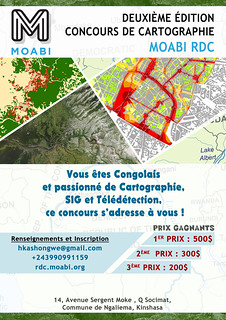
Le projet Moabi RDC lance la deuxième édition du concours de cartographie qui récompensera les meilleures cartographes et dessinateurs de la RDC. Les cartes seront évaluées selon des critères techniques et selon leur originalité. Nous espérons que ce concours permettra de sensibiliser sur les problématiques environnementales auxquelles les populations de RDC sont confrontées. Nous espérons également que ce concours donnera une opportunité aux dessinateurs et cartographes locaux de montrer leurs compétences.
3rd Edition of the Moabi Newsletter
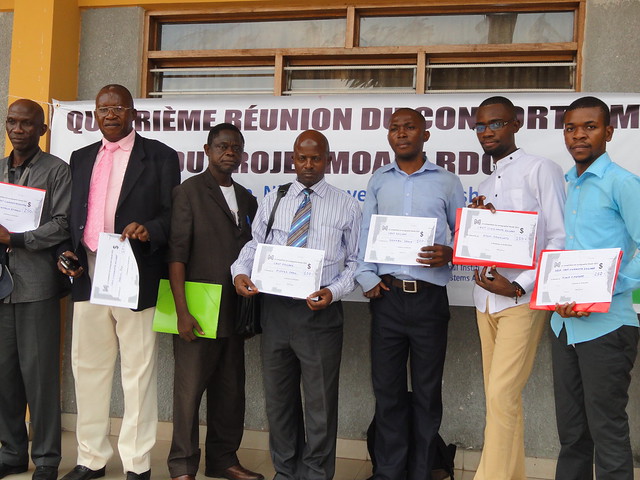
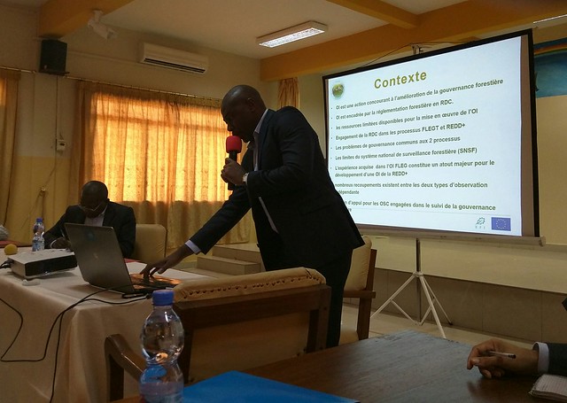
Moabi hosted the fourth meeting of the Consortium, which took place in the hall of the Arche at Clinique Ngaliema in Kinshasa, on 25 February 2015. About eighty participants heard of the progress made over the last six months by the Moabi Project.
Projet Open Mai Ndombe
En République Démocratique du Congo, la société civile congolaise joue un rôle important dans l’observation de la légalité des pratiques forestières, en particulier dans un contexte ou l’Etat manque de moyens pour assurer ses fonctions de contrôle. Cette fonction d’observation indépendante (OI-FLEG) est encadrée par la réglementation forestière. Cette OI est actuellement poursuivie par l’Observatoire de la Gouvernance Forestière en RDC (OGF), une ONG nationale congolaise, avec l’appui de Field Legality Advisory Group (FLAG), une organisation à vocation sous régionale formée des experts ayant conduit plusieurs projets d’OI-FLEG dans les pays du Bassin du Congo. Un protocole d’accord qui donne à OGF le mandat d’observateur indépendant du processus FLEG, en RDC a été accordé par le MEDD le 14 septembre 2013.
Customizing the iD Editor
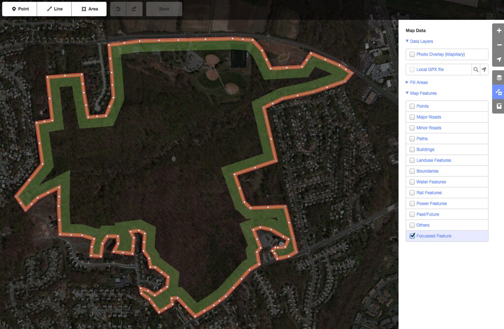
Moabi and MapBox have been working hard to improve the OSM iD editor.
Moabi Gets New Cartography
Moabi just revamped much of site cartography. We were aiming for a slightly simpler, cleaner set of map layers to better highlight our map data. Check them out and tell us what you think.
Moabi's Second Newsletter
Moabi’s second newsletter announces the REDD+ Independent Monitoring system at the project scale, the development of the Moabi platform and the launch of the Moabi map competition.
Announcing the First Moabi Mapping Competition
Moabi DRC is launching a competition to find the best map makers in the Democratic Republic of Congo.
Hacking Logging Roads

Moabi and WRI teamed up at the Brooklyn EcoHack last weekend to map logging roads in Equateur Province. Check out the results.
Why do we need to develop an Independent Monitoring methodology for REDD+?
Independent monitoring is essential for REDD+ implementation in DRC. Despite the interest of an independent monitoring system, no methodology has been designed for REDD+ issues. The task presents an exciting challenge.
Moabi Previewing at SotM-US
The Moabi development team is excited for State of the Map US this weekend. We are sharing a preview of the new Moabi (to be fully launched on Earth Day), and presenting our work on Sunday at 4pm, OpenStreetMap as Infrastructure, sharing the stage with the USGS National Map Corps project, and NPS Park Tiles. Hope to see you there!
Presets and iD
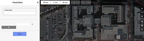
Presets are predefined set of tag(s) that represent a feature on the ground, for example, a Park. The idea of presets is widely used in OpenStreetMap and the iD editor makes it much easier. Presets can define fields, icons, and more metadata to make the feature unambiguous.